Pennsylvania Population Density Map
October 2020
GIS|Cartographic|Analysis|Design
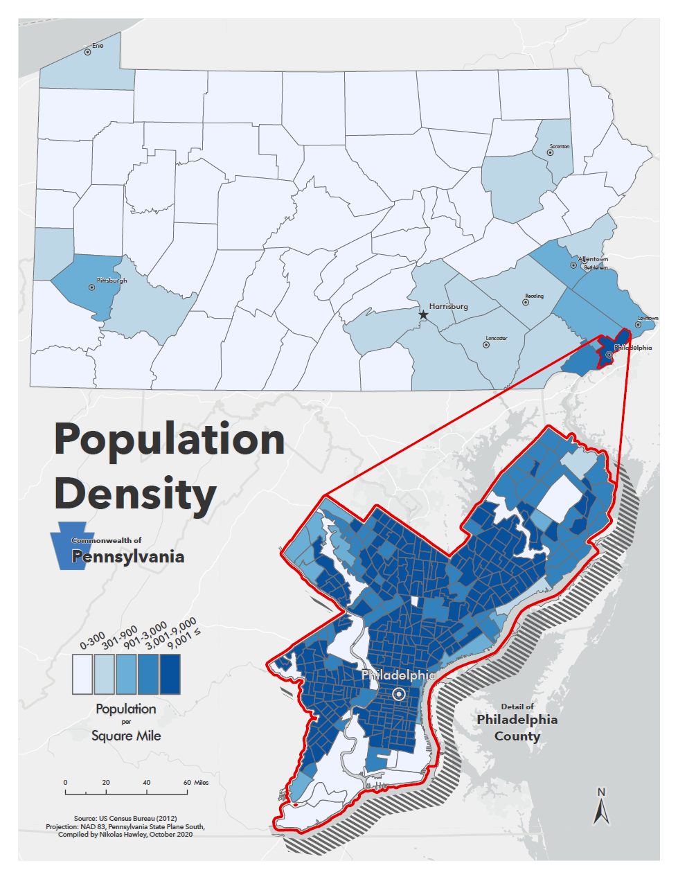
This static cloropleth map product was completed as a lab for my Intro Cartography course at George Mason University. The focus of the lab was to create a cloropleth map and to inlcude a detail inset of one of the sub-areas.